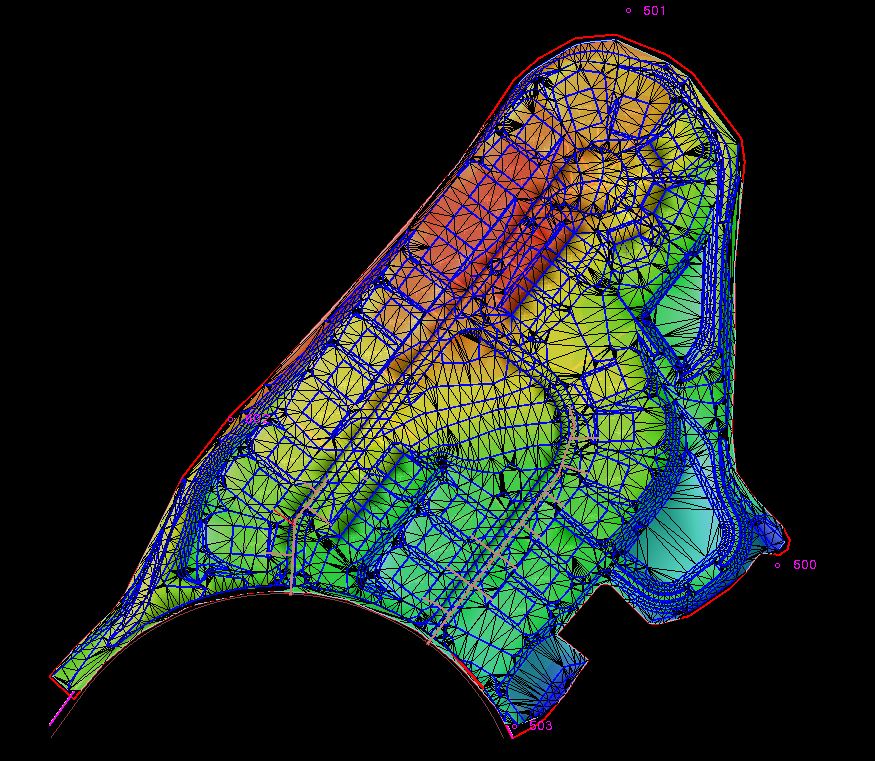
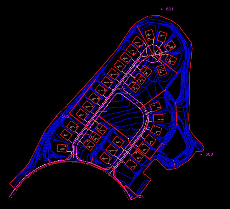
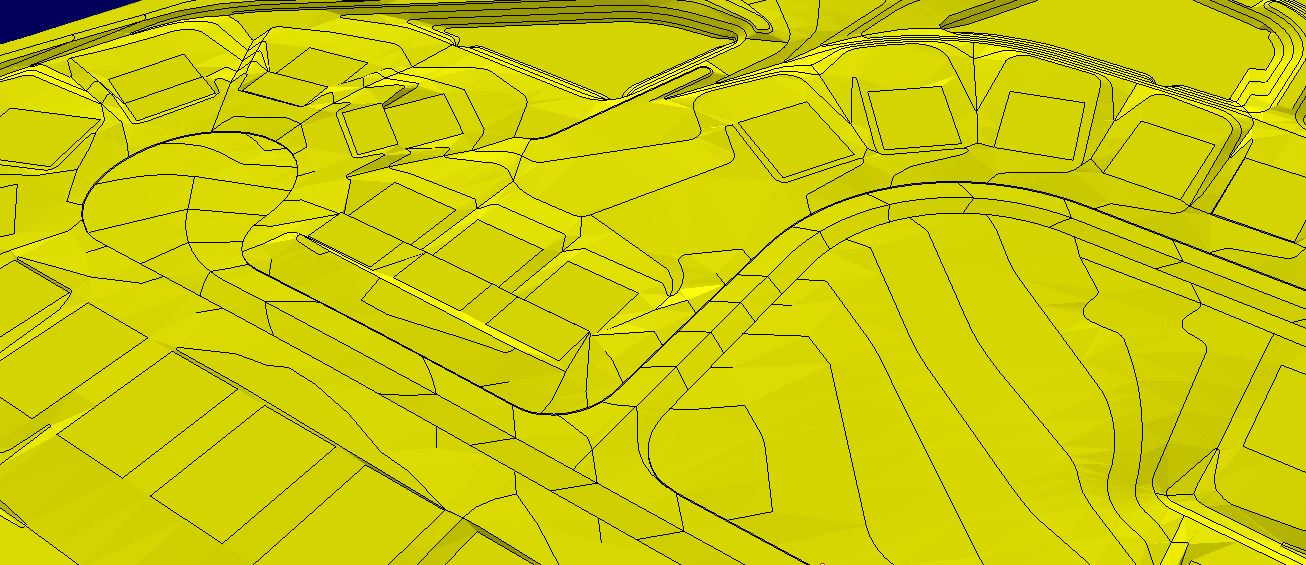
GPS Machine Control Modeling
Many Contractors use GPS Machine Control Systems on their projects. Here are the benefits of using American Construction and Estimating Service, LLC to handle your 3D Machine Control Data Preparation:
- Turnkey solutions on every project.
- Review for Design Errors and offer resolution with Field Personnel and Civil Engineers.
- Continual Communication with your team to ensure accuracy and timeliness.
- Surfaces are built with detailed contours and elevated line segments that the Engineers do not include. Most Engineering firms do not include the detailed features required for curb gutters, swales, and basins.
- Modeling data can be used for Field Layout for curbing, or for Utility Structure locating.
- Visualizing your work as it’s being built will increase productivity.
- Competitive Pricing and Quick Response on all projects.
3-D Data Preparation for GPS Machine Control Modeling
American Construction & Estimating Services, LLC provides accurate 3-D Models on time for you. For all Modeling requests we will require all current Civil Drawings (PDF format – full set), current Electronic Files (DWG format), Survey Control information, and your detailed scope requirements. We will generate your model to your exact specifications along with as many details as necessary including, Building Pad Setbacks, Sloped Pads, Bench Offsets, Sloped, or Stepped Wall or Trench Laybacks, etc. ACES, LLC combines experience and technology to generate the most accurate 3D Site Models for your Machine Control system.
- Finished Grade 3D Site Models provided in Trimble Format (.svd, .svl, .ttm, .dxf)
- Finished Grade 3D Site Models provided in Topcon Format (.In3, .tn3)
Reduce Survey / Layout costs:
- Your machine is using the same data as the surveyor.
- You can eliminate conflicts and inconsistencies in advance of the project start.
- With Machine Control Modeling you do not need rough / fine stakeout.
- The need for Re-staking is eliminated.


